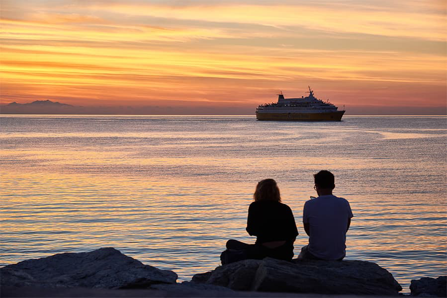
Sitia - Chalki
Ferries to Dodecanese Islands
Sitia - Chalki
Ferries to Dodecanese Islands

Blue Star Ferries provides the ferry from Sitia to Chalki. Sitia Chalki ferries cost around $31 and $392, depending on ticket details. Prices exclude any service fees. Ferry schedules change seasonally, use our Deal Finder to get the latest ferry ticket information for Sitia Chalki ferries.
Sitia Chalki ferry sailings typycally depart from Sitia at around 08:20. The last ferry leaves at 16:35.
The Sitia Chalki ferry trip can take around 7 hours 20 minutes. The fastest Sitia to Chalki ferry is around 6 hours 35 minutes. Crossing times can vary between ferry operator and seasons.
There is 1 weekly sailing from Sitia to Chalki operated by Blue Star Ferries.
Sitia Chalki ferry prices typically range between $31* and $392*. The average price is typically $117*. The cheapest ferries from Sitia to Chalki start from $31*. The average price for a foot passenger is $76*. The average price for a car is $392*.
Ferry price can vary based on booking factors such as number of passengers, vehicle type sailing times. Pricing is taken from searches over last 30 days and exclusive of service fees, last updated July 26.
The distance between Sitia to Chalki is approximately 121 miles (195km) or 105 nautical miles.
Yes, Blue Star Ferries allow cars on board ferries between Sitia and Chalki. Use our Deal Finder to get live pricing for car ferries between Sitia and Chalki.
Foot passengers can travel on the Sitia to Chalki ferry with Blue Star Ferries.
Pets currently are not allowed on ferries from Sitia to Chalki.
More routes than anyone else.

Compare fares, times & routes in one place.
Change plans easily with flexi tickets.

Book e-tickets & manage trips in-app.
Live ship tracking & real-time updates.

Top-rated customer support when you need it.
| Sitia - Chalki Ferry Route Prices | ||
|---|---|---|
| Foot Passenger | $76 | |
| Average Price with Car | $392 | |
| Sitia - Chalki Ferry Route Summary | |
|---|---|
| Origin | Crete |
| Destination | Dodecanese Islands |
| No. of Operators | 1 |
| Operators | Blue Star Ferries |
| Average Price | $117 |
| Average Daily Sailings | 1 |
| Average Weekly Sailings | 1 |
| Average Sailing Duration | 7 h 20 m |
| Fastest Sailing Duration | 6 h 35 m |
| First Ferry | 08:20 |
| Last Ferry | 16:35 |
| Distance | 105 Nautical Miles |
* Prices subject to change, pricing is taken from last 30 days, last updated 1 July 2026.
The port town of Sita is located on the Greek island of Crete which lies in the Aegean Sea. On the island, Sita is to the east of Agios Nikolaos and to the north east of Lerapetra. The town is generally not much visited by tourists and is not particularly well developed and can trace its history back to Minoan times. Excavations have been unearthed in the neighbouring site of Petras which date back to the end of the Neolithic period, 3,000 BC through to the Bronze Age, 3,000 - 1,050 BC. In support of the Petras findings, excavations at other archaeological sites on the island, such as Itanos and Mochlos, have found artefacts from Minoan times. Petras has, over its history, also been under the control of the Venetians who used it as a base for their eastern Mediterranean operations. The site was destroyed by an earthquake in 1508, and again by pirates in 1538 and by the Venetians in 1651.
The port at Sitia connects Sitia and eastern Crete with several other Greek islands as well as with the port of Piraeus on the Greek mainland. The town also has a marina which accommodates smaller fishing boats and yachts.
The Greek island of Chalki lies in the Aegean Sea and forms part of the Dodecanese group of islands. It is situated around 6 km to the west of the island of Rhodes and is the smallest inhabited island of the Dodecanese with a surface area of 28 sq. km and a coastline of around 34 km. The island's name is derived from the copper mines that used to exist on the island (Chalkos is Greek for copper). The island's economy was doing well at the end of 19th century, when Chalkites, the island's residents, developed navigation and a lucrative sponge industry. Chalki followed the historic course of Rhodes and was officially united with Greece in 1948. The world's youth nominated the island as the "Island of Peach and Friendship" in 1983.
The port, where the ferries arrive, is called Nimborio and is the only village on the island of any size. The port is shaped like a horseshoe around the bay.