Kastelorizo - Symi (Simi)
Ferries to Dodecanese Islands
Kastelorizo - Symi (Simi)
Ferries to Dodecanese Islands

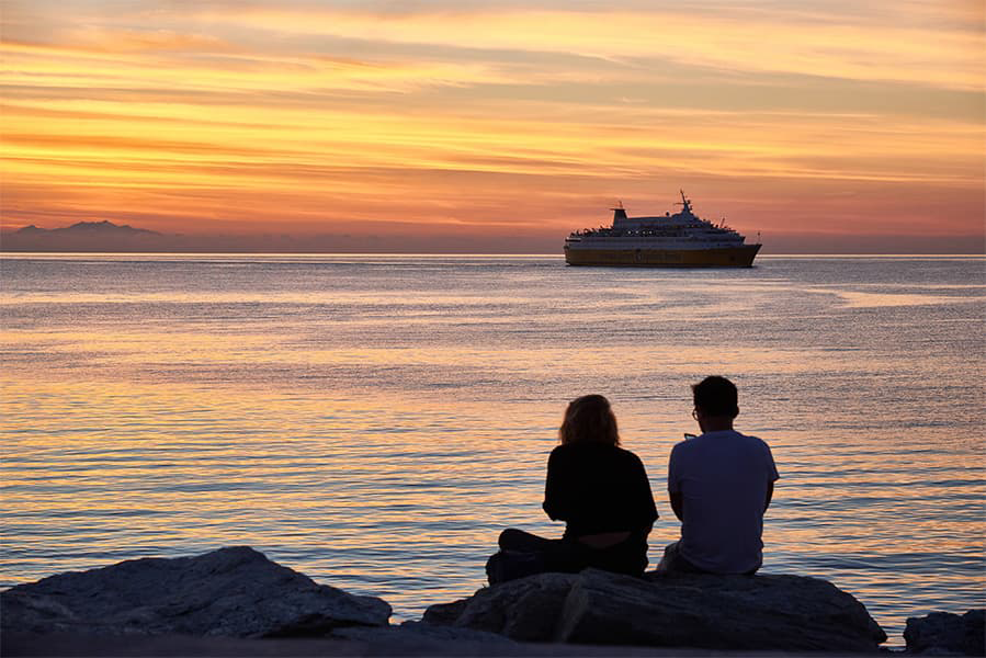
The Kastelorizo Symi ferry route connects Dodecanese Islands with Dodecanese Islands. Currently there is just the 1 ferry company operating this ferry service, Blue Star Ferries. The crossing operates up to 2 times each week with sailing durations from around 5 hours 45 minutes.
Kastelorizo Symi sailing durations and frequency may vary from season to season so we’d advise doing a live check to get the most up to date information.
More routes than anyone else.

Compare fares, times & routes in one place.
Change plans easily with flexi tickets.

Book e-tickets & manage trips in-app.
Live ship tracking & real-time updates.

Top-rated customer support when you need it.
The small Greek island of Kastelorizo, found in a stretch of the Aegean Sea just a mile from the southern coast of Turkey, shot to fame after featuring in Gabriele Salvatores’ 1991 Oscar-winning flick Mediterraneo; a drama set in World War Two about a group of Italian soldiers who find themselves stranded on the island. Today it is a haven for holidaymakers looking for a pleasantly warm and secluded spot in the Mediterranean. From the sky, Kastelorizo looks like a rough-edged triangle pointing south towards the distant shores of Africa. The island is sparsely populated and most of the landscape is dominated by Karst mountains, their slopes mottled dark green by a sparse covering of shrubs and pines. These mountains rise higher as they sweep west and consequently the only settlements on the island surround the cape that cuts into the much flatter eastern coastline. The port in Kastelorizo is found in a town of the same name. It sits on the edge of a long and charming promenade that borders water so crystal-clear that the seabed is visible beneath the surface. A neat row of white-walled villas, their rooves tiled in red terracotta and their windows hidden behind multi-coloured shutters, line the waterside too. This magnificent tableau is what ferry-goers first see as they are taken into the town’s bay and are dropped off at the western side of the promenade. Only a few paved roads cover Kastelorizo and most are cut short by the sharp climbs of the hills in the west. As such, the uninhabited western point of the island cannot be reached by car. There is no system of public transport either, though a shuttle bus runs flits between the town centre of Kastelorizo and the island’s small airport just under 2-miles away. A range of ferry routes currently operate from the port in Kastelorizo a few times throughout the week. Services hosted by Blue Star Ferries sail out of the cape before heading west to a smattering of Dodecanese islands, namely Kos, Nisyros, Kalymnos, Symi, Astypalea.